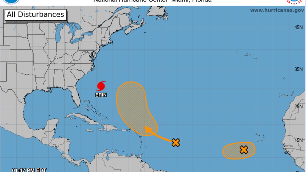
As Hurricane Erin heads north up the East Coast this Wednesday, residents are paying close attention to see where the storm will land and which cities may be in danger. As we write this on Wednesday afternoon, Erin is now a 110-mph Category 2 hurricane, but that can change quickly.
Beyond Boarding Up: How to Prep Your Smart Home Security for a Hurricane
The latest projections show the storm aiming for Boston, but veering back out into the Atlantic before causing too much damage. However, storm and flood warnings are in place for states including New Jersey, Delaware and Virginia. If you need to track Hurricane Erin, which is currently swirling several hundred miles off North Carolina, here are the best tools to do it.
Will Your Home Be Safe in a Hurricane? Here’s How to Protect It
National Hurricane Center
The NHC has a comprehensive, at-a-glance round-up of Hurricane Erin’s progress, predictions about its path and official advisories on when and where to take precautions. This should help you find information fast.
For the most detailed visuals, this NOAA satellite tracker offers a fascinating view.
NOAA’s live hurricane tracker
If you’re a fan of big, beautiful maps, then the National Oceanic and Atmospheric Administration website is for you. This detailed satellite visual of Hurricane Erin lets you see exactly what it looks like and where it’s going in stunning, somewhat frightening detail.
Up-to-date trackers from Boston will show where rain is expected.
NBC Boston live radar tracker
This Boston news channel has set up its own tracker, featuring a radar map with an overlay showing where heavy rains are likely to hit. While Boston doesn’t appear to be in any serious danger right now, you can keep updated if anything changes and see if your neighborhood should prepare for a hit.
Read the full article here


